FIU Future Shorelines Project
Our project uniquely utilizes hyperlocal and most granular data combined with future sea level rise projections to help drive site-specific decisions.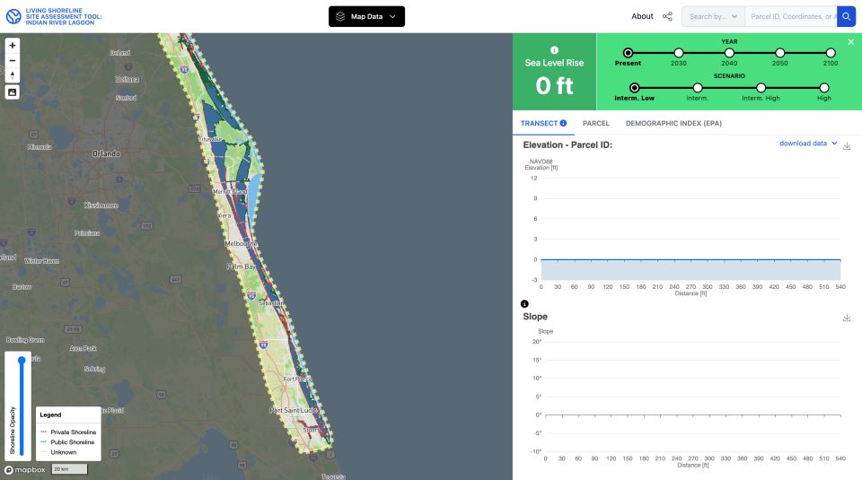
About the Project
How it started
Most, if not all living shoreline site selection and installation design decision support tools are based upon existing conditions. Our project, on the other hand utilizes a unique approach and characterizes future conditions. Once the user selects a location of interest, sea-level rise scenario (e.g., Intermediate High) and target year (e.g., 2050), the tool will provide plan-view and cross-sectional information specific to their selection including upland topography (e.g., DEM, elevation profile and slope) and scenario specific future conditions (e.g., shoreline location, parcel ownership, land use, and demographic data). These outputs can then be used to evaluate shoreline suitability and installation resilience in the context of future sea level conditions.
This project was initially funded by the Environmental Protection Agency Wetland Development Grant (#02D16822) “Enhancing Living Shoreline Suitability Analyses to Optimize Resilience to Future Sea-Level Rise” awarded to Florida International University. The initial project was carried out in close collaboration between the Institute of Environment and GIS Center with significant input and feedback from project partners and other stakeholders. Subsequent support for upgrades are funded by the Florida Department of Environmental Protection (FIUF1090) “Rookery Bay National Estuarine Research Reserve Sea Level Rise Vulnerability Assessment” award.
Who made this possible
Our Team
Each member brings unique skills and creativity to the table, driving our project forward. Get to know the main faces behind the project.
-
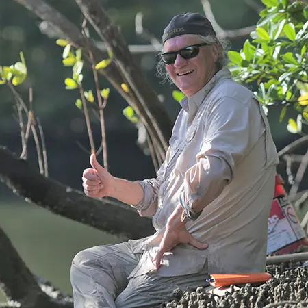
Randall W. Parkinson (PI)
Research Associate Professor, FIU Institute of Environment
Dr. Randall W. Parkinson is a coastal geologist specializing in the effects of climate change and urbanization on the built and natural environment. He is a Registered Professional Geologist (P.G.) with more than 35 years' experience working along the coasts of the northern Gulf of Mexico, Florida peninsula, Georgia Bight, Costa Rica and wider Caribbean. Dr. Parkinson's research interests in the natural environment are focused on the effects of past, present, and future sea-level rise on the inner continental shelf, barrier islands, indigenous shell works, wetlands, oyster bioherms, lagoons and estuaries. He is especially interested in the processes of above- and below-ground sediment and soil accumulation that effect surface elevation, hydroperiod, and landscape evolution under conditions of accelerating Anthropocene sea level rise. Dr. Parkinson is also experienced in conducting vulnerability assessments and preparing adaptation action plans for coastal areas subject to climate change stressors (i.e., sea level rise, increasing storminess).
-
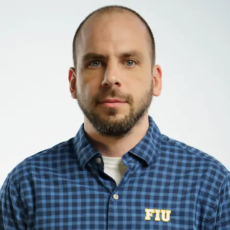
Levente Juhasz (co-PI)
Research Assistant Professor, Assistant Director of GIScience, FIU GIS Center
Levente earned his PhD degree with a Geomatics focus from the University of Florida. He also holds an MSc in Geography from the University of Szeged, Hungary. Previously, he was a visiting scientist at the Joint Research Centre of the European Commission in Ispra, Italy, and at the Carinthia University of Applied Sciences in Villach, Austria. He also served as a data scientist for a geospatial startup, Mapillary. Levente's research is mainly concerned with data quality of user-generated content, understanding user behavior in online communities, and spatial analysis of social media and other online platforms. His innovative research on location-based games, geospatial web and environmental data science has been featured on numerous outlets, including Bloomberg, GIS Lounge, Tech Insider as well as in international outlets.
He is a courtesy faculty member at the Department of Earth & Environment and teaches Environmental GIS in the Professional Masters in Environmental Science & Policy Program as well as Geospatial Intelligence in the MA in Global Affairs Program.
-
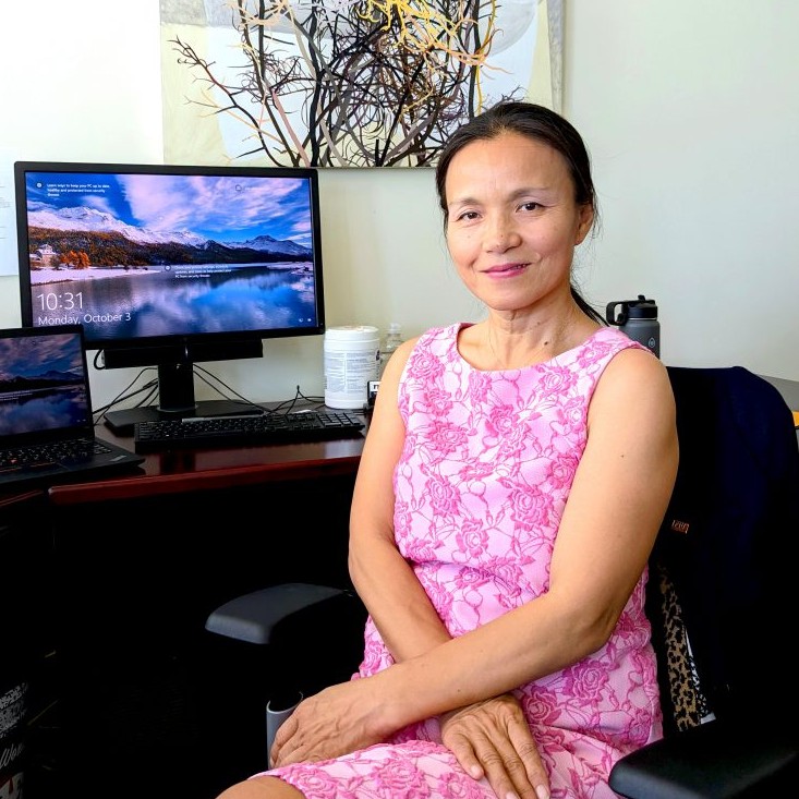
Jennifer Fu (co-PI)
Founding Director, FIU GIS Center
Jennifer directs the FIU Library's Geographic Information Systems Center (GIS Center), Maps & Imagery User Services (MIUS), and the Digital Collections Center (DCC). She is responsible for the development, administration, and supervision of GIS technology implementation campus-wide. Jennifer also coordinates GIS-related research projects and instruction in the GIS Center, and is the founding director of the FIU GIS Certificate Program. She earned her Master's in Information Science and Policy from SUNY at Albany.
-
Wencong Cui
Geospatial Developer, FIU GIS Center
Cui earned his PhD from the Department of Geography at Texas A&M University, he focuses on Geographic Information Science (GIS) and spatiotemporal statistical modeling. He also holds a master's degree in Computer Science from the Georgia Institute of Technology. He has more than four years research experience on machine learning, data mining with real-world big data and data-driven geography. He is also proficient in programming languages, especially Python and JavaScript with full stack development experience and creative ideas, his open source web app project, "Back Home", has more than 3000 users per month. Cui loves playing drums and traveling.
Who have helped us
Funding
Initial funding was provided by the US Environmental Protection Agency Region 4 under the Wetland Development Program, with in-kind contributions from Florida International University and our project partners. Subsequent support was provided by the Florida Department of Environmental Protection.
Contact
-
Randall Parkinson (PI)
rparkins@fiu.edu -

Levente Juhasz (co-PI)
ljuhasz@fiu.edu
We strive to provide an open and transparent overview of our methodology. Peer-reviewed publications and datasets are also available below.
Sea level rise scenarios
Sea level scenarios we use account for local variations and are extracted from the nearest available tidal station. We adapt the intermediate-low, intermediate, intermediate-high and high scenarios for the years 2030, 2040, 2050 and 2100.
Inundation mapping
We developed a passive inundation mapping approach (also known as a “bathtub” approach) and implemented the model using Free & Open-Source Software. Inundation is modeled above the locally estimated Mean-Higher-High Water (MHHW) surface. For a detailed description of the method, see Juhász, Xu & Parkinson (2023) below.
Elevation data
All vertical datasets are expressed in the NAVD88 orthometric datum. The horizontal coordinate system is UTM 17N / NAD83 (EPSG:26917).
DEM
The elevation model is based on the latest Florida Peninsular LiDAR data collection by the Florida Division of Emergency Management (FDEM) conducted in 2018 – 2020. The original bare-earth project DEMs were downloaded from USGS. Individual DEM tiles were mosaiced, reprojected and resampled to a ground resolution that allows computational efficiency. Breaklines, connectors, etc. were considered to ensure a hydrologically accurate representation of the surface.
Transects
Perpendicular lines were generated from the current shoreline with 100 ft spacing. The elevation based on the project DEM was sampled at 15 ft intervals so that the elevation profile can be reconstructed.
Supplemental data
Parcels
Parcel boundaries and associated information were extracted from their corresponding county’s Property Appraiser’s office. In another step, ownership categories (Public vs. Private) were identified using a role-based approach. Tax assessed values are representative of year 2022.
Demographic Index (EPA)
We adapt demographic indices from EPA’s Environmental Justice Screening and Mapping Tool (EJScreen).
Web application
Our web mapping application was built from scratch with the user in mind. This allows flexibility to implement custom functionality, such as the dynamic display of elevation transects, on-the-fly visualizations and more. The application was designed in a way that allows future development and customizations (e.g. different use-cases and geographic areas).
Publications & Presentations
Science
- Parkinson, R.W., Juhász, L., Wdowinski, S., Seidel, V., Fu, Z.J. (2025). Sea level rise submergence simulations suggest substantial deterioration of Indian River Lagoon ecosystem services by 2050, Florida, U.S.A. Regional Environmental Change . 25(2), 54. doi: https://doi.org/10.1007/s10113-025-02389-7 [Preprint available at https://doi.org/10.31223/X5P71D ]
- Parkinson, R.W., Juhász, L., Xu, J., Fu, Z.J. (2024). Future Shorelines: A Living Shoreline Site Selection and Design Decision Support Tool that Incorporates Future Conditions Induced by Sea Level Rise. Estuaries and Coasts . 47. pp. 2641–2654. doi: https://doi.org/10.1007/s12237-024-01425-9
- Parkinson, R.W.; Juhász, L; Fu, Z.J.; Xu, J. (2024). A novel geospatial living shoreline site suitability decision support tool that incorporates future conditions based upon locally derived sea-level rise scenarios. GOMCON 2024 Conference . Tampa, FL (Feb 19-22, 2024).
- Parkinson, R.W. (2024). Horizontal Rates of Wetland Migration Appear Unlikely to Keep Pace with Shoreline Transgression under Conditions of 21st Century Accelerating Sea Level Rise along the Mid-Atlantic and Southeastern USA. Coasts. 4(1), pp. 213-225. doi: https://doi.org/10.3390/coasts4010012
- Juhász, L.; Xu, J.; Parkinson, R.W. (2023). Beyond the Tide: A Comprehensive Guide to Sea Level Rise Inundation Mapping using FOSS4G. Geomatics . 3(4), pp. 522-540. doi: https://doi.org/10.3390/geomatics3040028
- Parkinson, R.W.; Juhász, L.; Fu, Z.J.; Xu, J. (2023). A site suitability tool that models future conditions using locally derived NOAA SLR scenarios. 2023 Living Shorelines Tech Transfer Workshop. Galveston, TX (Oct 24-25, 2023)
Data
Science
Tutorials
Learn how to use our tools

What we have created
Tools & Applications

Our partners
| Partner name | Point of contact | Title |
|---|---|---|
| Brevard County | Brandon Smith | Environmental Specialist Save Our Indian River Lagoon Program |
| Brevard Zoo | Ashley Rearden | Conservation Curator |
| FL Department of Environmental Protection | Scott Eastman | Program Administrator |
| FL Fish and Wildlife Commission | Logan Benedict | FWC Climate Change Coordinator |
| Florida Sea Grant Brevard County | Holly Abeels | Florida Sea Grant Extension Agent |
| Florida Sea Grant Martin/St. Lucie County | Vincent Encomino | Florida Sea Grant Extension Agent |
| Florida Sea Grant Nature Coast | Savanna Berry | Regional Specialized Extension Agent |
| Indian River County | Melissa Meisenburg | Lagoon Environmental Specialist |
| Indian River Lagoon National Estuary Program | Duane DeFreese | Executive Director |
| Marine Discovery Center | Chad Truxell | Executive Director |
| Martin County | Jesica Garland | Coastal Management Division |
| NOAA | Kris Kaufman | Restoration Center, Office of Habitat Conservation |
| St. Johns River WMD | Chuck Jacoby | Supervising Environmental Scientist Estuaries Section |
| St. Lucie County | Amy E. Griffin | Environmental Resources Director |
| University of Central Florida | Melinda Donnelly | Assistant Research Scientist |
| Volusia County | Samantha West | Sustainability and Resilience Manager |
FAQs
Helpful Answers
Dive into our FAQ section, where curiosity meets clarity. Find instant answers to your questions and embark on a seamless journey to understanding.
How are tidal surfaces determined?
We recognize local variations in the MHHW surface, especially in estuaries. Instead of adapting a constant MHHW value from the nearest tidal station, we use NOAA’s VDatum tool to sample MHHW values across the study domain and interpolate a varying MHHW surface, that is locally relevant.
Is the data available?
Yes, the data we used to build our solution is available for download in the data section above. Site-specific transects and charts can be downloaded from the application.
How are sea-level-rise scenarios and values determined?
Sea-level-rise values account for local variations, and are extracted from the US Interagency Sea Level Change Tool. The nearest tidal station is:
- Indian River Lagoon: Trident Pier, Port Canareval.
Is it possible to customize the tool for my area and use-case?
Certainly. The tool was designed in a flexible way that allows adaptations in different geographic regions (where input data is available in sufficient quality) and modified use-cases. Integration of custom data is also possible. Please reach out to learn more.
Past project members
We are grateful for the contributions of the following individuals:
- Jinwen Xu, Postdoc, University of California, Berkeley